oneplan land surveying

Land Surveying & Spatial Services for Melbourne, Gippsland and regional Victoria.

Learn more

Accurate, compliant, and professional land surveying services

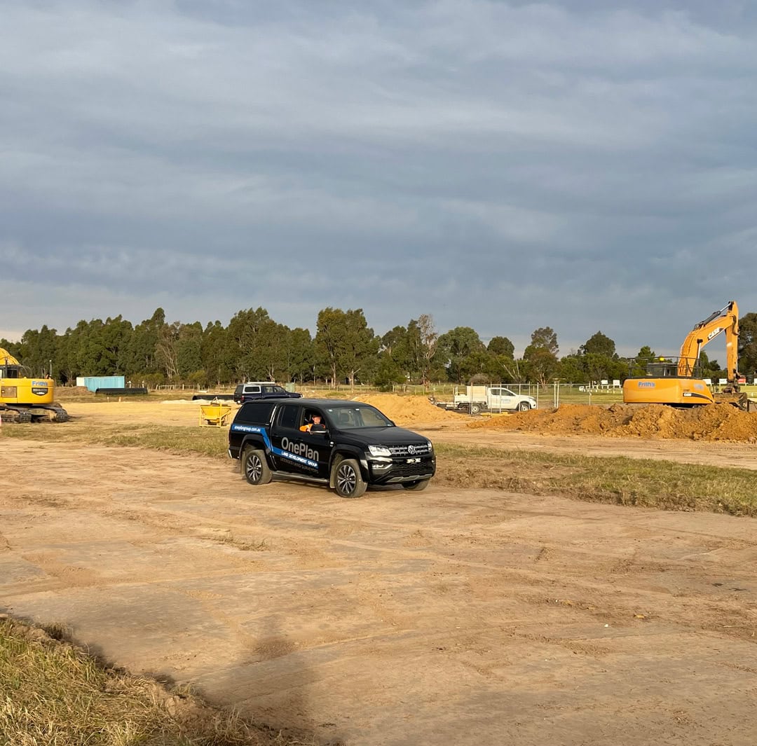
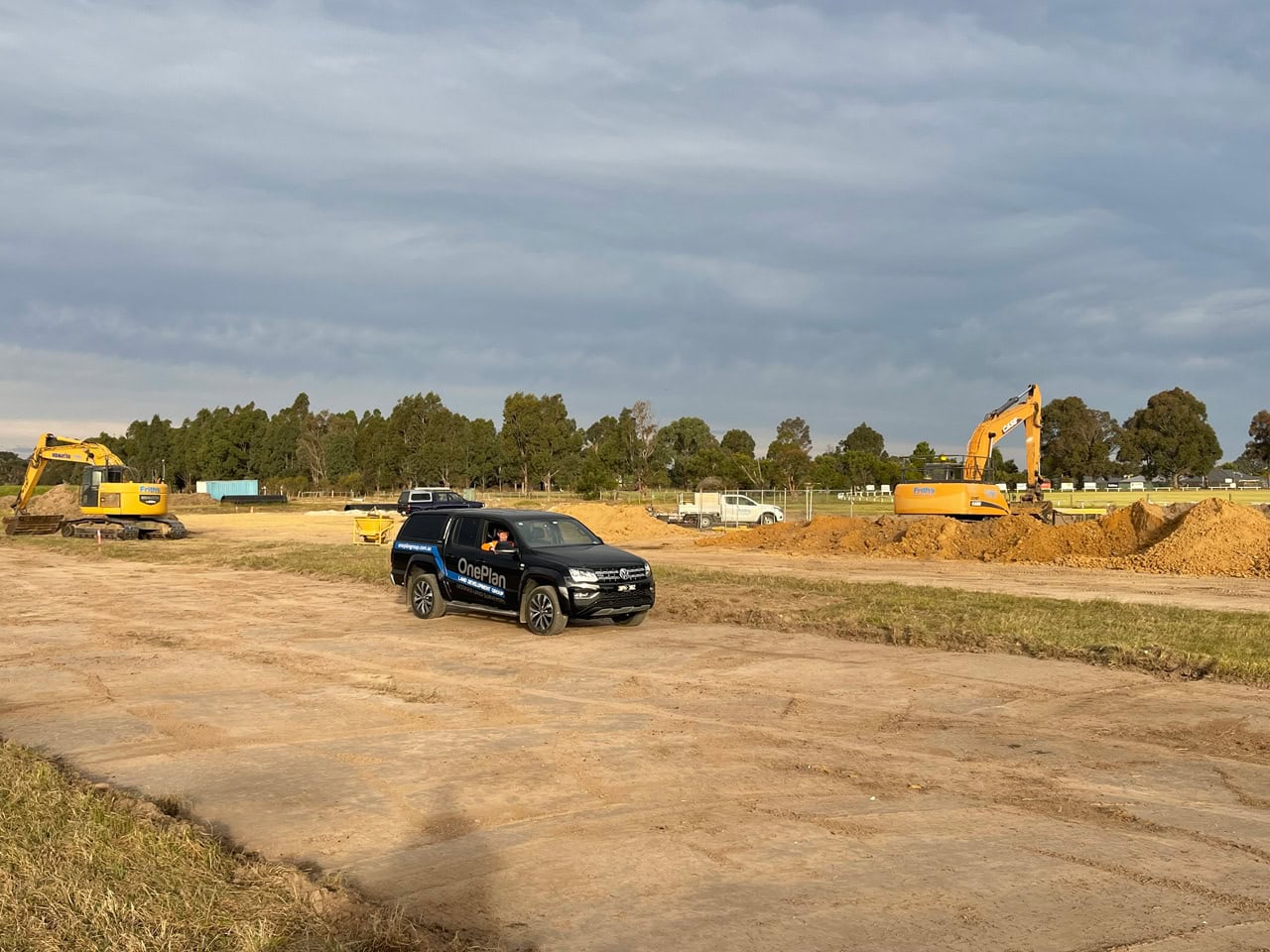
At OnePlan Group, we provide land surveying services to support confident decision-making at every stage of development. Whether you’re planning a residential subdivision, a commercial build, or an infrastructure project, our expert team delivers tailored spatial solutions grounded in precision, integrity, and deep industry knowledge. 

We work across Melbourne and regional Victoria, offering a full suite of services — including boundary re-establishment, subdivisions, feature and level surveys, title plans, and construction setouts — all designed to support planning approvals, design accuracy, and legal compliance. Backed by cutting-edge technology and a commitment to collaboration, OnePlan Group is your trusted partner in land development.

Explore our surveying services

Explore all

Title Re-establishment

Know exactly where your property boundaries lie with our licensed boundary surveys. Whether for fencing, construction, or resolving disputes, we accurately re-establish title boundaries using historical plans, legal documents, and field measurements — ensuring compliance with Land Use Victoria requirements.

A surveyor, who is registered as a licensed surveyor under the Surveying Act 2004, is the only person authorised to perform cadastral surveys in Victoria.
Enquire now >>
title re-establishment melbournetitle re-establishment melbourne

Feature and Level Surveys

Our feature and level surveys provide the detailed site information architects, engineers, and planners need to design with confidence. Capturing topography, existing structures, utilities, trees, and more — we deliver high-accuracy data in digital formats ready for design, modelling, or submission to council.
Enquire now >>
land surveying in gippslandregional land surveying

Consolidation of Titles

Consolidating land titles can unlock new development opportunities, simplify planning applications, or resolve complex ownership scenarios. OnePlan Group provides professional title consolidation surveys that merge multiple parcels into a single title, in full accordance with Victorian planning and title regulations.
Enquire now >>
title consolidation by a land surveyorOnePlan Land Surveyor provides titles consolidations and research

GPS Surveys

Accurate and efficient collection of topographic data for large scale projects can be managed efficiently through the use of modern survey grade GPS technology for large scale data collection.
Enquire now >>
specialised land surveying equipment for data collection

Hydrographic Surveys

Accurate measurement of subsurface topography and description of features which affect maritime navigation, marine construction, dredging and related activities.
Learn more >>
OnePlan Hydrographic services with specialised equipmenthydrographic surveying melbourne and regional victoria

Subdivision

Thinking of subdividing your land? Our licensed surveyors provide end-to-end support for all types of subdivisions — from dual occupancies to multi-lot developments. We understand the critical role subdivisions play in land development. That’s why we focus on accuracy, communication, and compliance — helping developers, builders, and landowners streamline approvals and avoid costly delays.
Enquire now >>
OnePlan Melbourne, Gippsland and regional victoria subdivisions for urban and rural developmentlicensed land surveying for subdivisions

Ready to Get Started? Let’s Talk About Your Project

OnePlan Group are your partners in the land development process.
Enquire today for a no-obligation discussion or quote.
Enquire nowtopographic element for land surveyingtopographic element for land surveying
oneplan land surveying

Land surveying experts for Melbourne, Gippsland and Eastern Victoria.

© OnePlan Land Development Group 2025. All Rights reserved.
View Privacy Policy