What you’ll receive in your Hydrographic Survey Report
At the completion of your hydrographic survey, OnePlan Group provides a clear, comprehensive report tailored to your project requirements. Our deliverables are designed to support engineers, environmental consultants, planners, and regulatory submissions.
You’ll typically receive:
• Bathymetric Maps and Contour Plans – Accurate representations of underwater topography, including depth contours and terrain features.
• Georeferenced Digital Files – CAD (.dwg/.dxf), GIS, or PDF files compatible with engineering and design platforms.
• Cross-Section Profiles – Longitudinal and cross-sectional views of channels, riverbeds, or seabeds for design and analysis.
• Raw and Processed Sonar Data – Full datasets from echo sounders, suitable for independent review or future modelling.
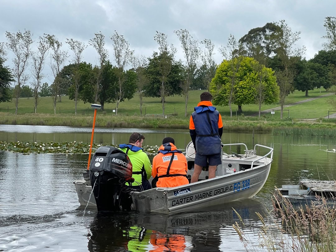
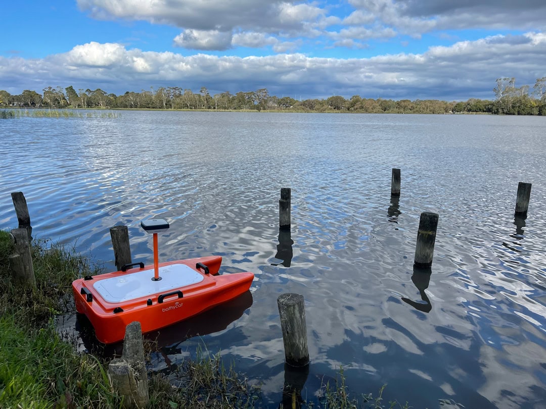
• Survey Methodology Summary – A breakdown of the equipment used, accuracy standards, and survey conditions.
• Site Observations & Anomalies – Notes on visible or sonar-detected obstructions, sediment build-up, or structural issues.
• Compliance-Ready Reporting – Formats and documentation suitable for planning permits, environmental approvals, or engineering submissions.
Our reports are delivered promptly and include a debrief session to help you interpret the data and plan your next steps with confidence.
Ready to Get Started? Let’s Talk About Your Project
Contact us today to request a quote, discuss your project, or learn more about how our hydrographic services can support your development.
Enquire now